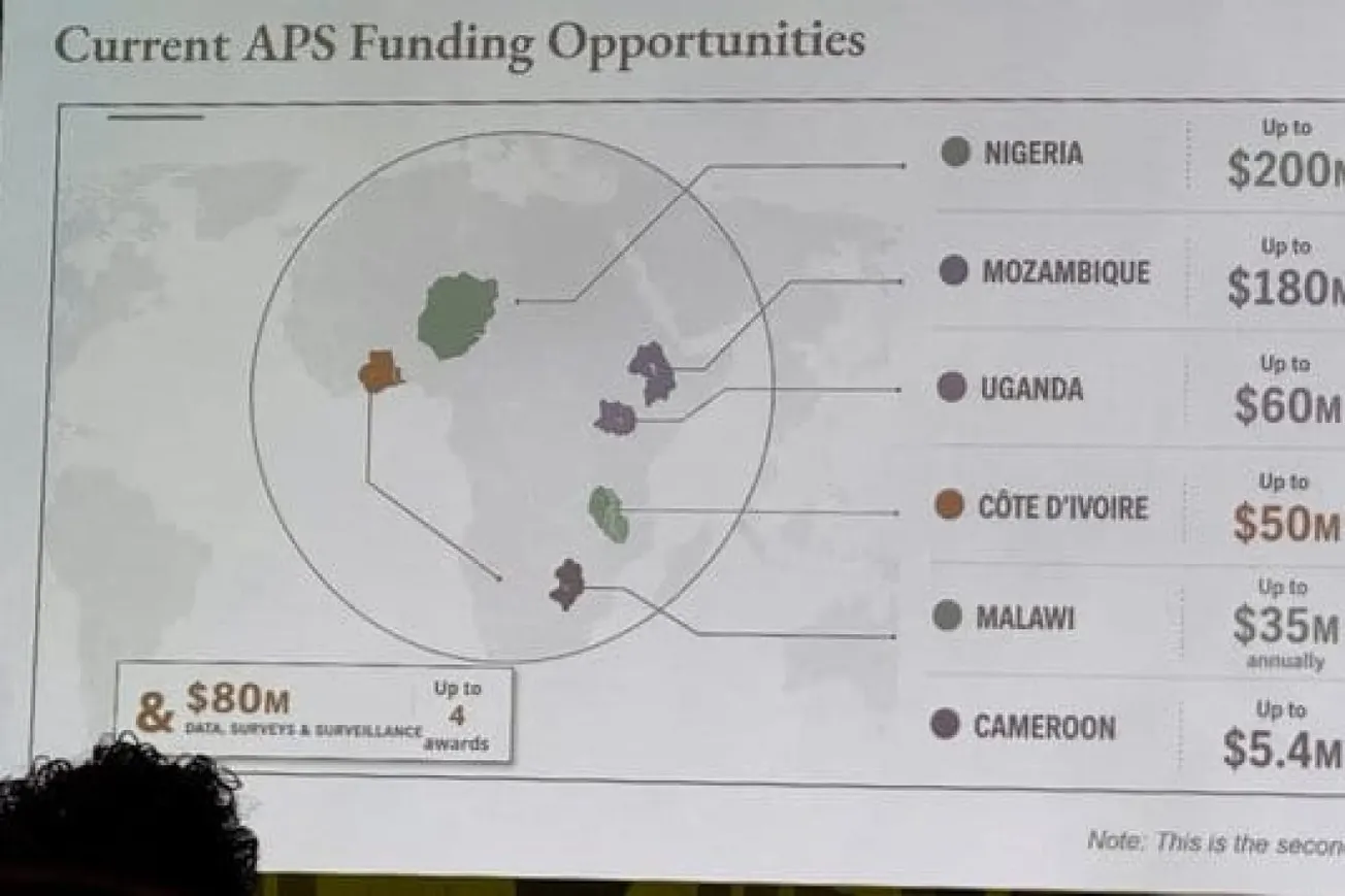
A U.S. State Department presentation at the International AIDS Conference in Rio de Janeiro drew criticism after displaying an AI-generated map that incorrectly labeled every country in Africa.
According to the State Department, the mistake resulted from a last-minute change to the presentation, and the slide included an OpenAI watermark indicating it had been created using AI.
The report said the map contained multiple geographic errors, including placing Nigeria in the Sahara Desert and misidentifying the locations of Mozambique and Ivory Coast.
Images of the slide quickly circulated online, prompting criticism from conference attendees and researchers.
The State Department apologized to African delegates and reaffirmed its commitment to global HIV/AIDS efforts.
According to AI analyst Matt Petit, the incident underscored the importance of verifying AI-generated content before it is used in official diplomatic communications.
Related Tweet:
A U.S. government map of Africa mislabeled every country during a State Department presentation at a global conference in Brazil this week, causing a stir among attendees who took screenshots and posted them online. https://t.co/2E4jrezneR
— Reuters Africa (@ReutersAfrica) July 30, 2026
Also Read:
 TIPP Staff