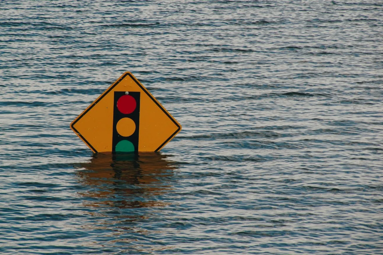
Torrential rain and flash flooding swept across the mid-Atlantic and Northeast on Thursday, disrupting travel and prompting emergency declarations in New Jersey, New York, and Maryland.
Heavy afternoon storms soaked areas from Washington, DC to New York City. In Queens, floodwaters trapped drivers, with emergency crews rescuing stranded passengers. In Manhattan, water leaked into Grand Central Terminal and subway stations, while Philadelphia’s SEPTA system reported flooding in several stations.
GOES-19 IR imagery shows repeating rounds of storms beginning to develop from Virginia to New Jersey, including the I-95 metro areas. Severe thunderstorms and numerous instances of flash flooding are possible through the evening. Turn around, don't drown! https://t.co/8hgHWZEB8r pic.twitter.com/QfJErWpwmS
— NWS Weather Prediction Center (@NWSWPC) July 31, 2025
The rainfall, fueled by a cold front breaking a heat dome, fell on already saturated ground, making flash flooding more severe. New York’s JFK Airport faced delays of up to three hours as thousands of flights nationwide were canceled or delayed.
State and local officials urged residents to stay indoors and avoid travel. Flood warnings extended across the I-95 corridor and into New England.
The flood threat moves south Friday into the Carolinas and Georgia, continuing a summer marked by repeated storm emergencies and rising flood risks.
Related:


