The National Hurricane Center is tracking a developing storm near the Bahamas that could become Tropical Storm Imelda within days and potentially strike the U.S. Southeast early next week. Heavy rains are already hitting Puerto Rico, the Virgin Islands, and Hispaniola.
If the system organizes Friday or Saturday, landfall in the Carolinas could come as early as Monday or Tuesday. Forecasters warn that late-forming storms close to U.S. shores give residents little time to prepare.
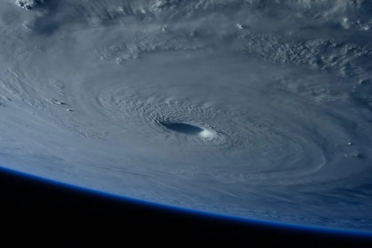
Meanwhile, Hurricane Humberto strengthened over the central Atlantic and may intensify into a major hurricane. While it poses no direct U.S. threat, its size and path could influence Imelda’s trajectory.
Humberto is now a hurricane with 75 mph winds. All of our focus is on the chance of development that is expected to become a tropical depression today or tomorrow.
— Andrew Dockery (@AndrewWMBF) September 26, 2025
This will become Imelda and continues to bring an increasing chance of tropical impacts to our area early next… pic.twitter.com/nQcYvoZALd
Uncertainty remains high. Small shifts in Humberto’s track or jet stream patterns could alter whether Imelda moves out to sea or pushes inland. Even without landfall, flooding rains, storm surge, and life-threatening rip currents are expected along the Eastern Seaboard.


