By Joe Bastardi, CFACT |April 13, 2025
An unintended consequence of hurricane climate exaggerations is that they spotlight the need for an overhaul as to how we communicate a storm’s overall power to the public. A more detailed analysis of past storms is needed as well.
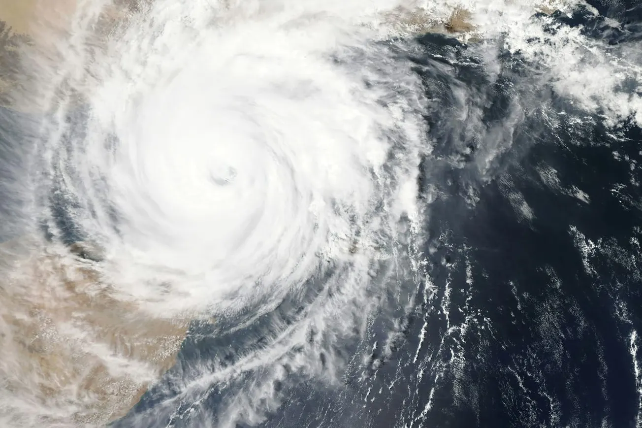
The National Hurricane Center (NHC) admitted last year that size matters, which I take no issue with. At Weatherbell.com, we use a scale that incorporates not only the storm’s size but also its pressure and pressure tendency. Barometric pressure and its tendencies indicate a storm’s ability to bring its fury to the surface. We have been doing that since 2011. None of this is covered by the Saffir-Simpson Scale. A spot wind measurement from what could be a tiny storm, size-wise, means it is not in the same league as a monster storm with the same wind speed but a far greater radius of strong winds. A classic example is Hurricane Charley in 2004 versus Hurricane Donna in 1960. Both were Category 4 storms hitting the southwest coast of Florida, but on the other side of the peninsula, Miami didn’t even experience gale-force gusts with Charley, while Donna brought 100 mph gusts to that part of Florida.
Our current power and impact scale ranges from 0.25 to 5-plus (which should make extremists happy, as it can exceed 5, though sustaining that level for more than a short time is rare). It includes the following metrics: 1) six-hour average maximum wind speed, 2) sea-level pressure, 3) extent of hurricane-force winds, 4) extent of 50-knot winds, and 5) extent of 34-knot winds. Each metric is assigned a value (I’ve published the scale many times, so I won’t repeat it here). Once the overall number is calculated, the values are divided by the number of metrics (five) to come up with a rating, and then a pressure tendency metric is added. This is because a rapidly intensifying hurricane will bring its strongest winds to the surface, whereas a weakening storm, like Idalia in 2023—a so-called Category 3 where surface winds at landfall were only 60% of the Doppler winds—cannot accomplish this. The reason is simple: the environment in which the hurricane is embedded either aids or detracts from its ability to do so.
Thus, our scale incorporates six different aspects rather than just one.
With this kind of scale, you avoid the extreme fluctuations in the scale as seen with storms like Milton. When it was a small storm, relying solely on spot winds didn’t convey that its fluctuations could be much greater, confusing the public. Because Milton was so small, with other metrics reflecting that, it would never have reached Category 5 in the first place. Why should some of the great storms of the past, with their massive size, be classified in the same category as a small, but intense, storm? Large storms like Helene or Beryl (when it hit Texas) ranked stronger on our scale than on the Saffir-Simpson Scale and caused damage characteristic of a stronger storm across a wide area, even well inland.
This is an ambitious undertaking. Reanalyzing all storms with this classification will provide a true picture of their overall power through the years, stopping the propaganda about how much worse storms are getting in its tracks.
To illustrate how disingenuous some climate hysterics are, using the Atlantic basin—home to about a quarter of Northern Hemisphere tropical activity—to claim an increase in global activity is scientific malpractice. If you want to make a point, look to the western Pacific, which accounts for a much larger share of the global Accumulated Cyclone Energy (ACE) index, where activity has been down. Indeed, distorted warming has led to storms tending to develop farther north and being smaller in size. But is that a negative? For all the talk of global this and global that, one might think some of the leftist redistribution-of-wealth advocates pushing climate hysteria would be pleased that the U.S. has seen an uptick while the Far East has experienced less activity. They seem to favor that dynamic in other contexts, so why not here?
I’m only half sarcastic. The “hurricanes are worse than ever” crowd are merely weather-weaponizing ambulance chasers in a phony climate war.
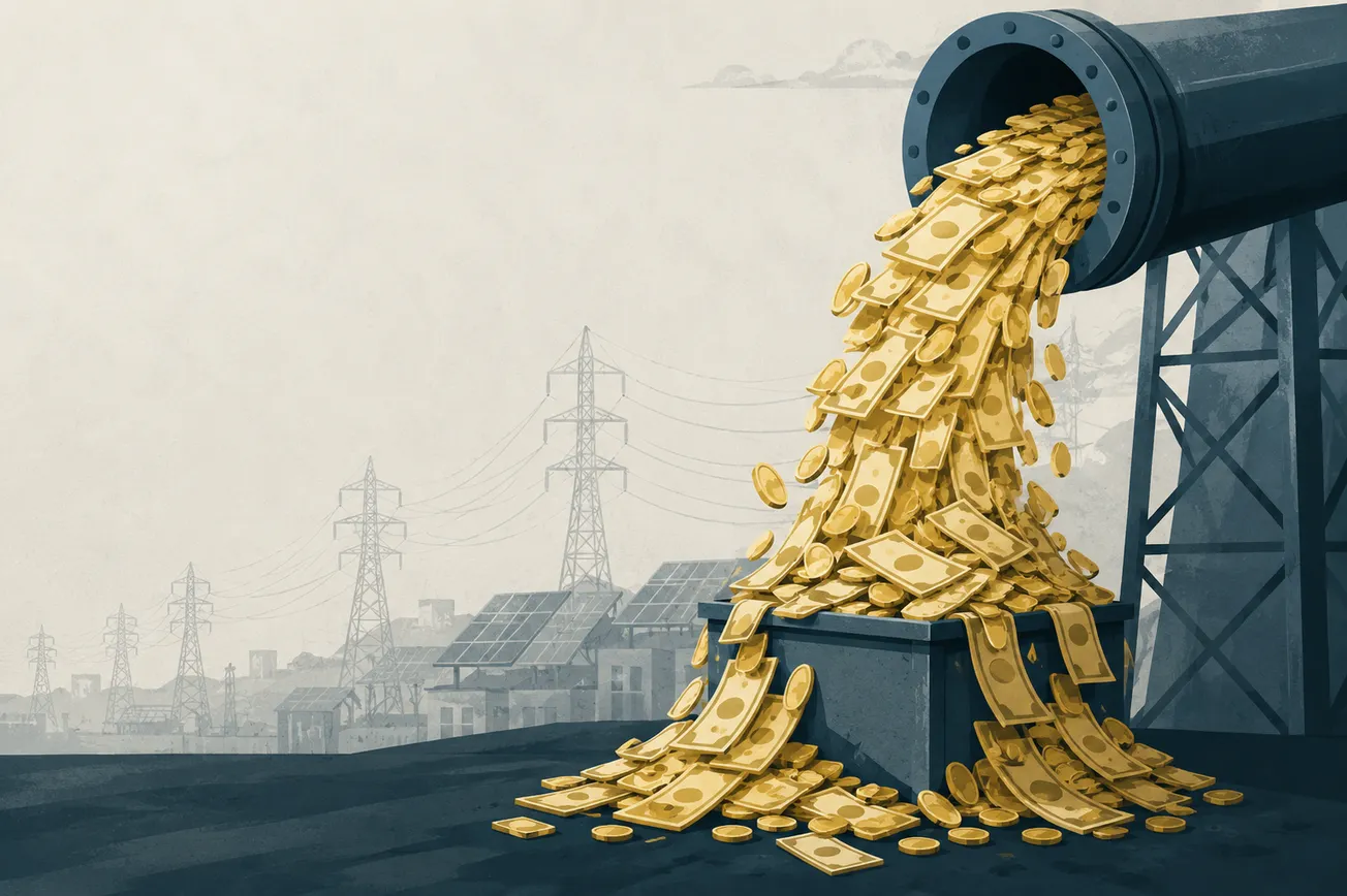
If NOAA and the NHC are serious, they should undertake an ambitious reclassification project, which could also include dividing the Atlantic basin into two areas to account for years when observational capabilities were limited compared to today. We could redirect some of the funds saved by dismantling the phony climate war agenda and give them to the NHC for this purpose. That would truly serve our country, the world, and science.
Anytime the focus on reality is prioritized, that is a service.
Joe Bastardi is a pioneer in extreme weather and long-range forecasting. He is the author of “The Climate Chronicles: Inconvenient Revelations You Won’t Hear From Al Gore — and Others” which you can purchase at the CFACT bookstore.
Orignal article link


