Federal climate scientists have officially declared the arrival of an El Niño event, signaling the beginning of a major shift in global weather patterns that could influence temperatures, rainfall, drought conditions, and storm activity over the coming months.
The announcement was made by the National Oceanic and Atmospheric Administration after ocean temperatures in the eastern tropical Pacific rose above the threshold typically associated with El Niño conditions.
Current measurements show sea surface temperatures averaging about 0.7 degrees Celsius above normal, indicating that a weak El Niño is already underway.
El Niño occurs when trade winds weaken across the tropical Pacific, allowing warmer waters to accumulate in the eastern portion of the ocean. The resulting changes can alter weather patterns around the world.
In the United States, El Niño often brings wetter conditions to parts of the Southeast and Southern California while increasing the risk of drought in portions of the Pacific Northwest, northern Plains, and Upper Midwest.
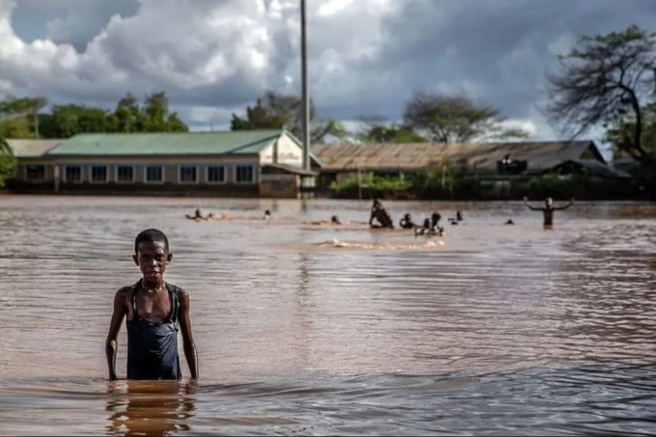
Nevertheless, the phenomenon is closely monitored because of its potential to contribute to higher global temperatures and increase the likelihood of extreme weather events in many regions around the world.
Related Tweet:
El Niño is officially back and could become one of the strongest ever recorded. Here's what to know https://t.co/Y7SCoi0uXI
— Bloomberg (@business) June 11, 2026
Also Read:


